We've developed several photo services specifically for golf courses and clubs. Please check out these examples and we can discuss how to use these images on your website or how to increase retail sales in your pro shop.
Please use the Contact Us form to let us know your interest. We can give you a quote for these services.
Art Poster For Your Golf Course
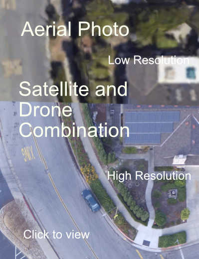
We've developed a photo process to mix satellite and drone photography to show a very detailed view of your course. Each green, bunker and tree can be seen in great detail. Most golf courses are settled in locations with private property close by or even between holes. To protect privacy for all of the private property owners, the satellite view is used for these areas with lower resolution. See sample of drone vs.satellite image.
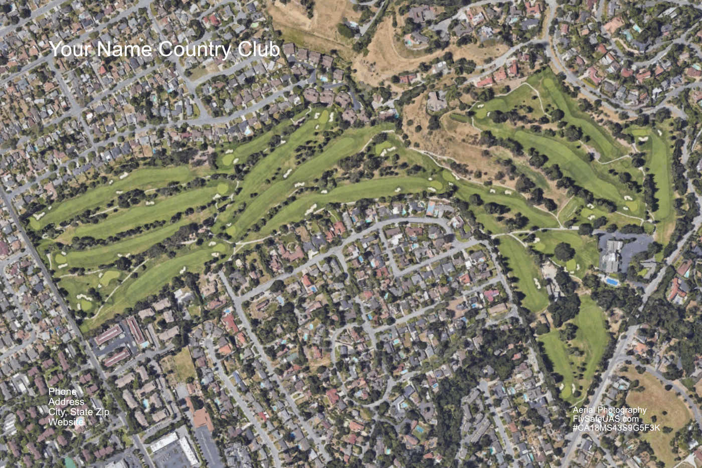
- Poster For Sale in Pro Shop - A 24" x 36" high resolution image can be sold in your pro shop. Special events and awards can all use this print to commemorate a special day or gathering. We can provide boxed prints ready for sale with a framed display sample. Online reorder is easy.
- Club House Wall Photo - A large 4 x 6 feet image can be printed for the wall display. This wall photo could easily become a central discussion and reference point for everyone in your club house. Please Contact Us to request a quote.
Click above to compare satellite and drone image resolution.
360 Degree View Photos
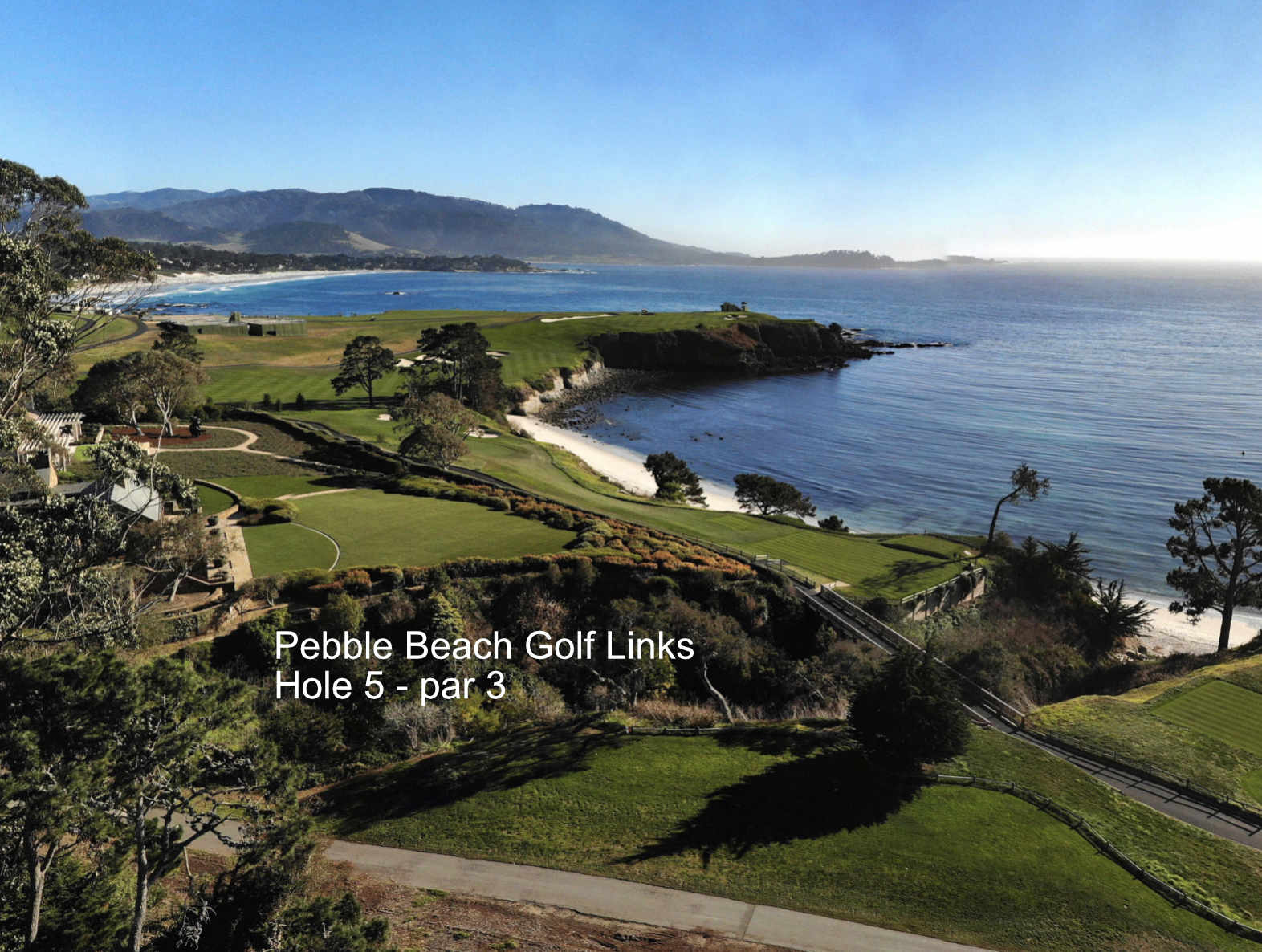
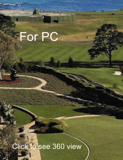
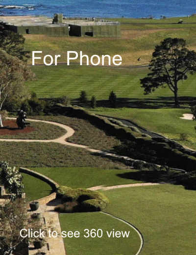
Get a spectacular bird's eye view of your favorite golf course. The 360 view images can be rotated and zoom-in to see more detail. The below examples show a view of the Pebble Beach Golf Links from 200 feet up. These images can be used on a large PC screen or on a smart phone. Click an image below to check it out.
Recommended - Click box icon in top left screen to toggle full screen view. Close window to return to website.
Photo Options
- Overview - From a high elevation, the whole course or featured parts of it can be shown in 360 panorama.
- Treetop Level - Each tee off, fairway and green location can be captured for a look around.
- Hot Spot Linked Images - A clickable spot in each image will take the viewer to the next location in a sequence.
- 360 view photos can be recorded indoors as well to highlight club facilities.
|
|
Elevation Mapping
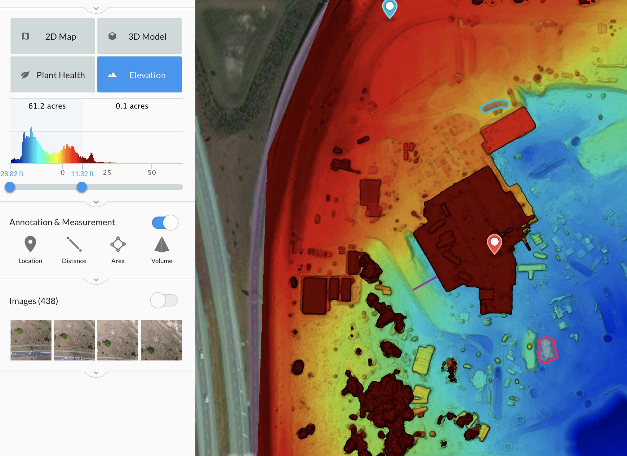
- Elevation mapping can be used by golfers to see the slope and contour of each green.
- Grounds keepers can use this to verify slope and contour across the whole course.
Contact Us Form
If you have an urgent request, please call - 408-761-3000 (West Coast) or 646-580-1245 (East Coast)
